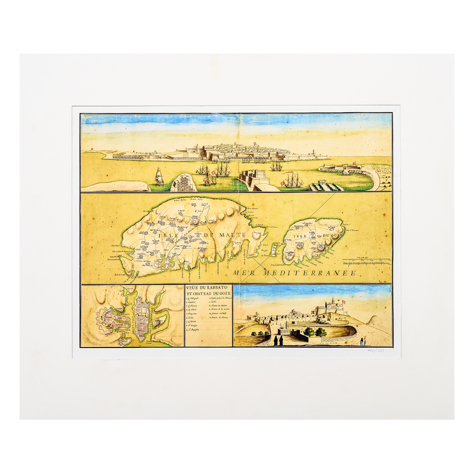

Map: Eighteenth Century Malta at a Glance + Free Publication
€100.00
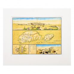
Facsimile 46 x 54.5 cm
Mount 55 x 65 cm
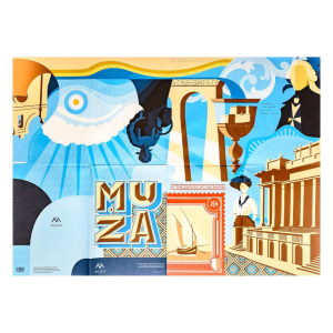
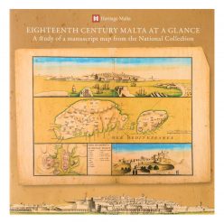
Accompanying Publication: 25 x 25 cm; 24 pages; full colour
Out of stock
Description
Actual size facsimile of an 18th century manuscript map from ‘The Albert Ganado Map Collection’ forming part of the National Collection. Designed by an anonymous cartographer, this map portrays a more realistic and all-embracing interpretation than the typical geographical charts which tended to focus on the legendary Order of St John. As highlighted in the accompanying publication, this manuscript map which is fashioned in a three-tiered composition, presents (1) an intriguing prospect of Mount Sciberras, (2) a map of Malta, Comino and Gozo, and (3) an inset of the Grand Harbour and Marsamxetto, and a panorama of Gozo’s Rabat and overlying Castello. This facsimile is limited to 120 copies.