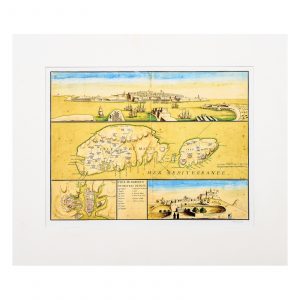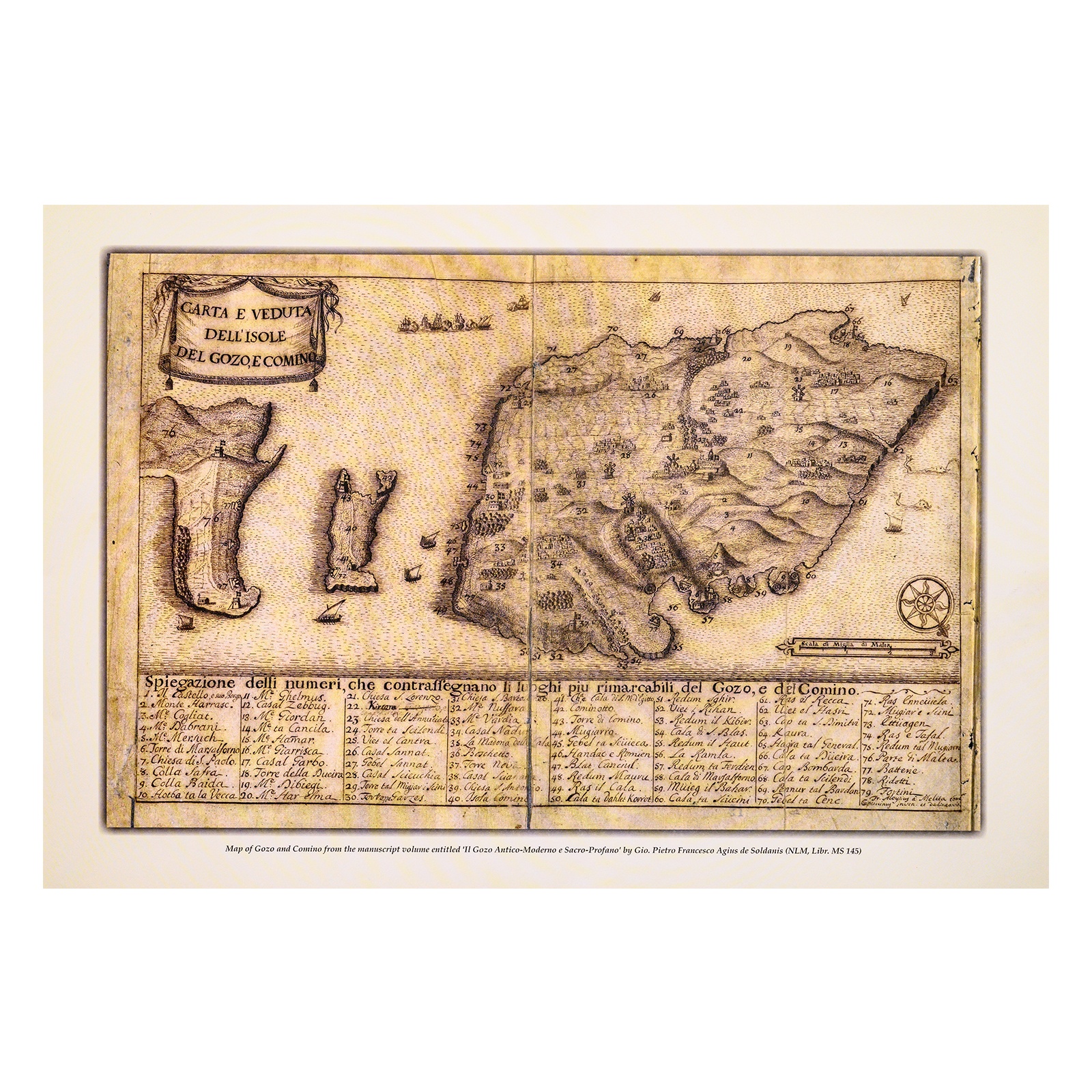

Map: Carta e Veduta Dell’Isole Del Gozo e Comino
€10.00
Facsimile: 31.8 x 47 cm
Mount: 42.2 x 47 cm
Out of stock
Description
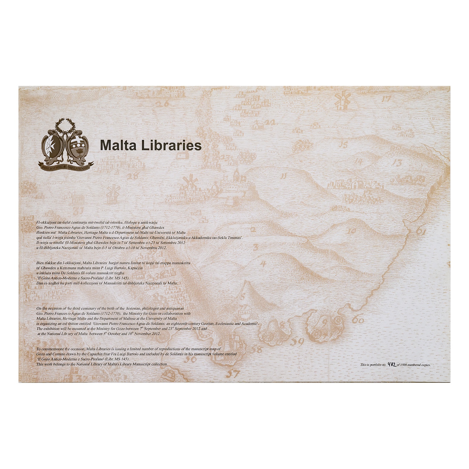
Actual size facsimile of an 18th century minutely detailed manuscript map of Gozo and Comino drawn by the Capuchin friar Fra Aloysius Bartolo. Till now, this is the earliest known surviving true-life, comprehensive map of Gozo on its own. The lower tier of the map enlists close to ninety locations which mattered for the survival and flourishing of the Gozitan community at the time. The list includes most coastal and inland topographic features, Rabat and its Castello, and all six casali or rural parishes. The map is preserved in Gio. Pietro Francesco Agius de Soldanis’s manuscript volume entitled ‘Il Gozo Antico-Moderno e Sacro-Profano’ which forms part of the National Library of Malta’s Library Manuscript Collection. This numbered facsimile is limited to 1500 copies.