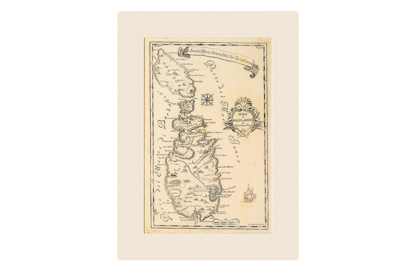
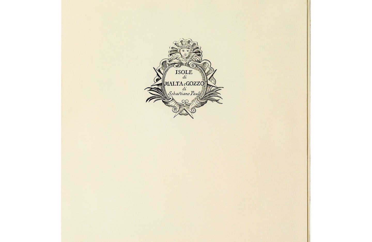
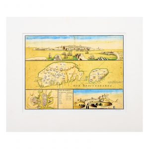
Map: Isole di Malta e Gozzo di Sebastiano Pauli
€250.00
Facsimile: 51 x 36.4 cm
Mount: 53 x 38.5 cm
Folder: 53.5 x 39 cm
Out of stock
Description
This very rare 18th-century map which is unusually oriented north-west and is found in Vol. 2 of the two-volume work written by Sebastiano Pauli (1684-1751). The book is a major source for the history of the Knights of the Order of St John. Drawn by Pauli, the map depicts the islands of Malta, Gozo, Comino, Cominotto and Filfla and shows detailed place names and the Wignacourt aqueduct stretching along the whole width of the island. Intriguingly, the north of the island is described as Parte Disabitata (uninhabited area) and further north as Chersoneso (arid and dry). This limited edition of 250 restrikes was pulled from the original plate with only 200 being released for sale.
